Bum La Pass is one of the most sought-after high-altitude destinations in Arunachal Pradesh, located near the India-China border in Tawang district. The pass is accessible from Tawang town and is known for dramatic mountain roads, changing weather, and a strong military presence. A journey to Bum La is not just scenic, it feels like a real frontier experience in the Eastern Himalayas.
Bum La Pass
A high-altitude border pass in Tawang district, around 37 km from Tawang town
A Glimpse into the Features of Bum La Pass
Border Location
Bum La lies in Tawang district close to the international border and is reached through a controlled route from Tawang town.
Historic Context
The pass has strategic importance and is associated with key moments in India border history, which is why access remains permit-based.
Extreme Mountain Terrain
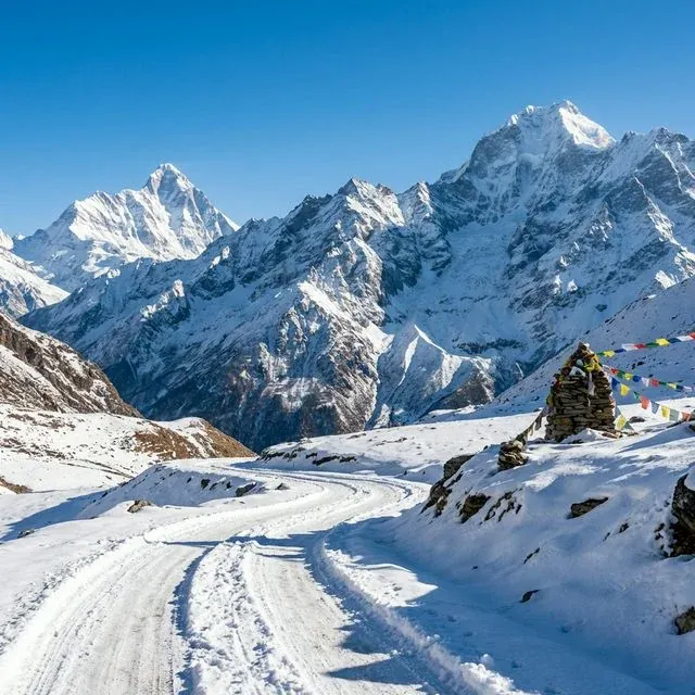
Expect thin air, sudden fog, and very low temperatures. The terrain is beautiful but demanding, especially in winter.
Cultural and Religious Significance
Although Bum La itself is a border point, the journey reflects the living culture of the Monpa region around Tawang. Visitors often combine this route with monastic heritage sites, local markets, and traditional settlements that give the trip a deeper cultural context.
Festivals and Local Experiences
Torgya and Losar Season
If you visit in festival months, nearby Tawang comes alive with monastic rituals, local dance, and winter celebrations.
High-Altitude Day Excursion
Most travelers do Bum La as a same-day round trip from Tawang, with scenic stops at alpine lakes and mountain viewpoints.
Special Highlight: Permit Route and Frontier Views
Bum La is one of the few places where travelers can witness true frontier mountain life up close. The road from Tawang passes through high lakes and military check-posts, making the full route experience as memorable as the destination itself.
Travel Guide to Bum La Pass
How to Reach Bum La Pass
By Air: Guwahati Airport is the most reliable air gateway (about 480 km to Tawang by road). Tezpur Airport is closer (about 330 km to Tawang) but has limited flight frequency.
By Train: Rangapara and Tezpur (Assam) are commonly used rail access points for the Tawang route, then continue by road.
By Road: Reach Tawang first via Bhalukpong-Bomdila-Dirang route, then drive about 37 km from Tawang to Bum La with required permits and check-post verification.
Best Time to Visit
April to June and September to October are usually best for safer driving and clearer views. Winter snowfall is beautiful but often affects road access.
Local Attractions
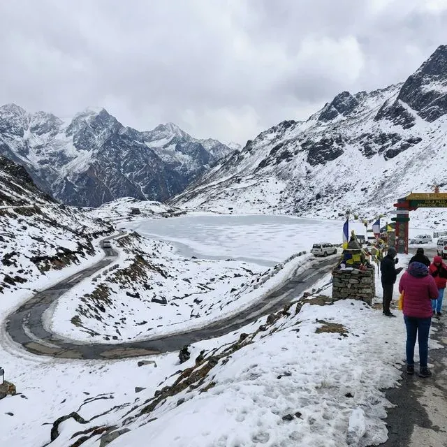
Sangetsar Lake (Madhuri Lake)
Pankang Teng Tso (P.T. Tso Lake)
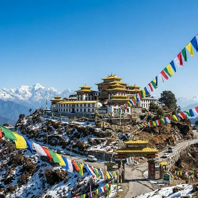
Tawang Monastery
Tips for Devotees and Travelers
Start early from Tawang and carry proper winter layers, gloves, and waterproof shoes.
Obtain Bum La permit in Tawang (Deputy Commissioner process plus Army check-post clearance) before your travel day.
Avoid rushing at high altitude. Drink water regularly and pause if you feel breathless or dizzy.
Follow Army and local administration instructions strictly, and avoid drone use near border areas.
Pass Location
Image Gallery